The Trust is made up of nine volunteers, who are passionate members of the Wanaka community, plus representatives from the Council and Department of Conservation.
Charitable Trust formed October 2006
The Trust is registered with the Charities Commission – Reg No. CC38956.
The Trust is an Incorporated Charitable Trust – Reg No. 1898188.
The Trustees are:
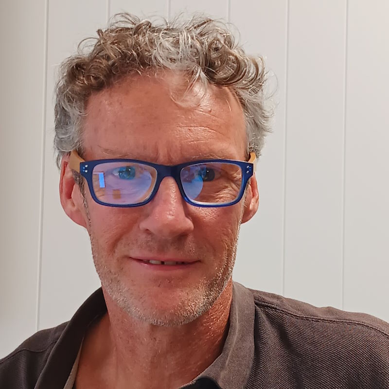
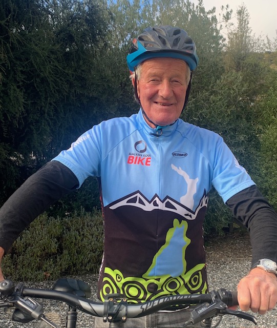
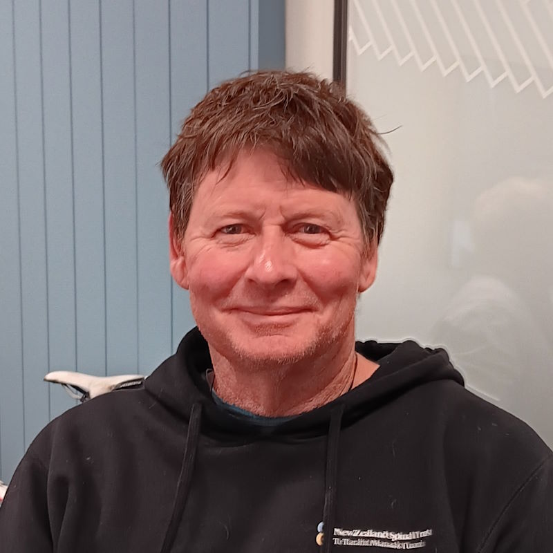
Dave Howard – Chair
Dave believes in the multiple benefits that access to the outdoors can deliver to individuals, community, business and the environment. He brings a background in roading, operations management, business consulting and Sport NZ, encouraging participation in active recreation. Making scratches in the dirt and placing planks over puddles allows people to have great outdoor experiences. Dave’s favourite trail locations are summer picnic spots on the Glendhu Bay track and riding the outlet track on an autumn afternoon with the sun pouring through changing leaves.
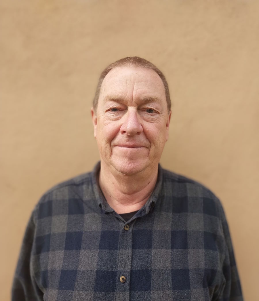
John Wellington – Treasurer
Financial background – currently self-employed in tourism sector. As a volunteer he provides day to day accounting/fund raising for the Trust, together with access/track advocacy role, resource consent submissions and hearing attendance. Active in track project evaluation/feasibility work. Keen walker/tramper and e-biker.
Grant Fyfe – Trustee
Lawyer and Partner at Fyfe Karamaena Lawyers. As a volunteer he provides legal advice and appropriate legal work for the Trust (easement registration etc). Also, a keen tramper and mountain biker.
Alan Gillespie – Trustee
Retired Local farmer – as a volunteer he provides the Trust with an understanding of rural issues relating to tracks and public access, and has project managed several projects. Has a strong background in outdoor recreation and SAR. In his happy place on a mountain bike.
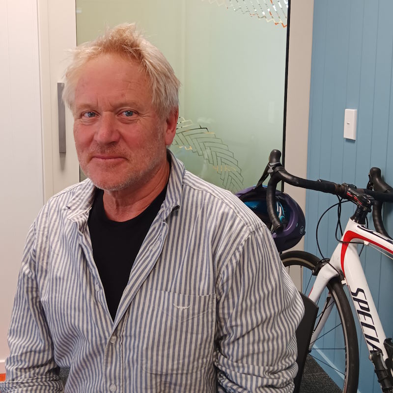
Tom Rowley – Trustee
A retired High Country Farmer – as a volunteer he provides the Trust with an understanding of rural issues relating to tracks and access and represents the Trust as part of the Southern Lakes Trust. Also, a very keen mountain biker.
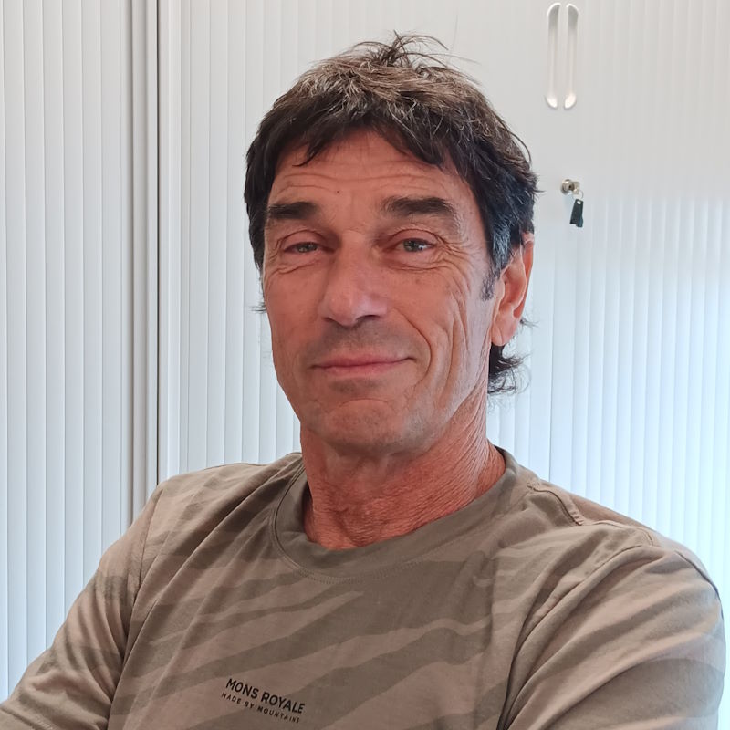
Brian Weedon – Trustee
Land Surveyor who has also worked for the Department of Conservation for several years. Active in track project evaluation/feasibility work. Keen road/mountain biker and mountaineer.
Quentin Smith – Trustee
QLDC Councillor. Background as a resource management planner and reserve manager. Passionate about tracks and trails and access equity.
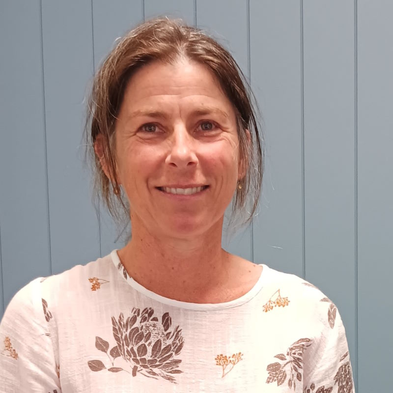
Lucy Fullerton – Trustee
Keen passionate cyclist and has been involved in the bike industry for over 30 years. Also enjoys tramping/walking and is passionate that our environment continues to be a place we treasure and have as our playground. She has a teaching background and is currently a self employed specialist tutor.
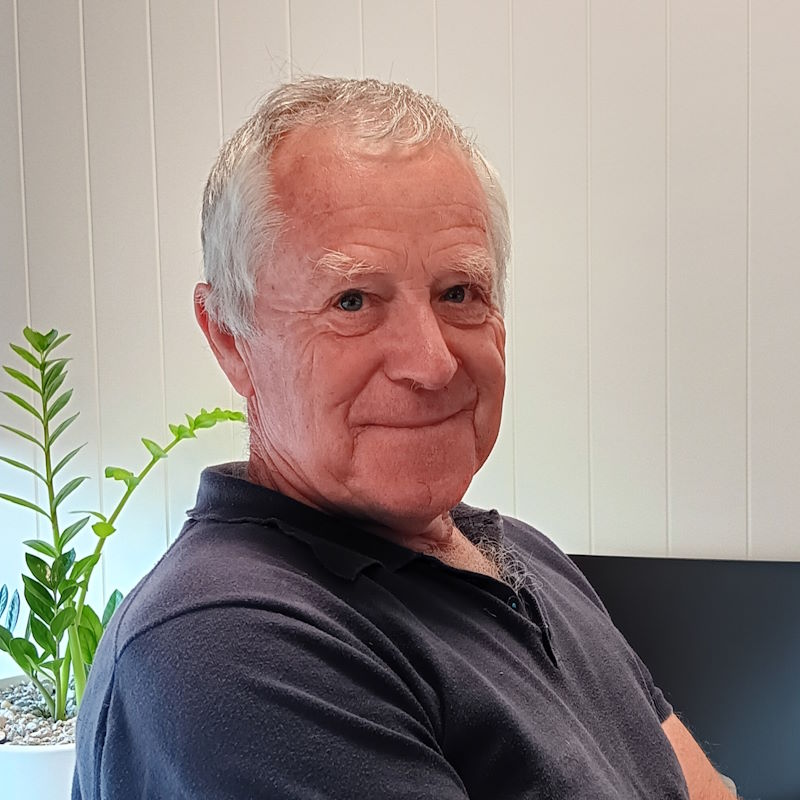
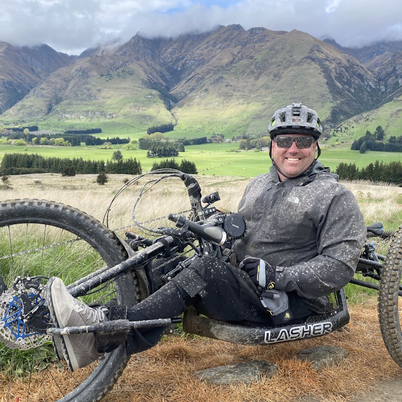
Geoff Wilson – Trustee
Joined the Tracks Trust as a accessible point of view and with much help from other trust members we have made a few subtle changes ramps taking out stiles etc . Has been a keen mountain biker for years so enjoys the process and being part of making new trails .
Anita Middlemass – DOC Representative
Diana Mason -QLDC Representitive
Patron:
Stuart Landsborough
His connection to the Tracks Trust came about as he created a rather marvelous walking track not only up RockyHill/Diamond Lake, but also with a separate track coming back down the mountain again, a beautiful track but so much work. Yes, it was an incredible amount of work and much of it was done by himself and with unemployed people via a government department.
Although the track was well formed, it was much narrower than what would be expected with DOC tracks and pretty basic drainage systems so it was frequently requiring maintenance. This resulted in the track requiring an almost complete overhaul about every three years! Over the years about $45,000 in track donations has been collected, and more funds have gone into the creation of this track, equivalent to $90,000 in today’s terms.
After about twelve years, with much of his spare time wrestling with the maintenance of the track, Stuart was very pleased to have the Department of Conservation take over the responsibility! It was about this time that the Upper Clutha Tracks Trust was formed, Stuart became a Patron due to creating something very positive and special for the community.
Now 77 years old, he can just manage to get halfway up the mountain, let alone do any work on the track!
Apart from the Rocky Mountain track, he also created what is now the iconic Puzzling World, itself having quite an iconic Maze walking track with about one kilometre of tracks!